Context
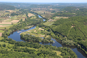
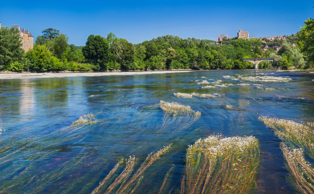
The Dordogne Watershed is facing many changes, most of them accelerated by climate change. The watershed is oriented from west (moderate coastal climate) to east (mountain climate), it has to face a 0,3°C temperature raise every 10 years since 1980. By 2050, the temperature rise will have effect on various elements like the Puy-de-Sancy snow cover, the fish fauna, the forest or the water flow renewal. The stakes are numerous for this territory which mostly depends on social and economic activities related to water (fishing, tourism, hydroelectricity, agriculture…).
Dordogne 2050 method
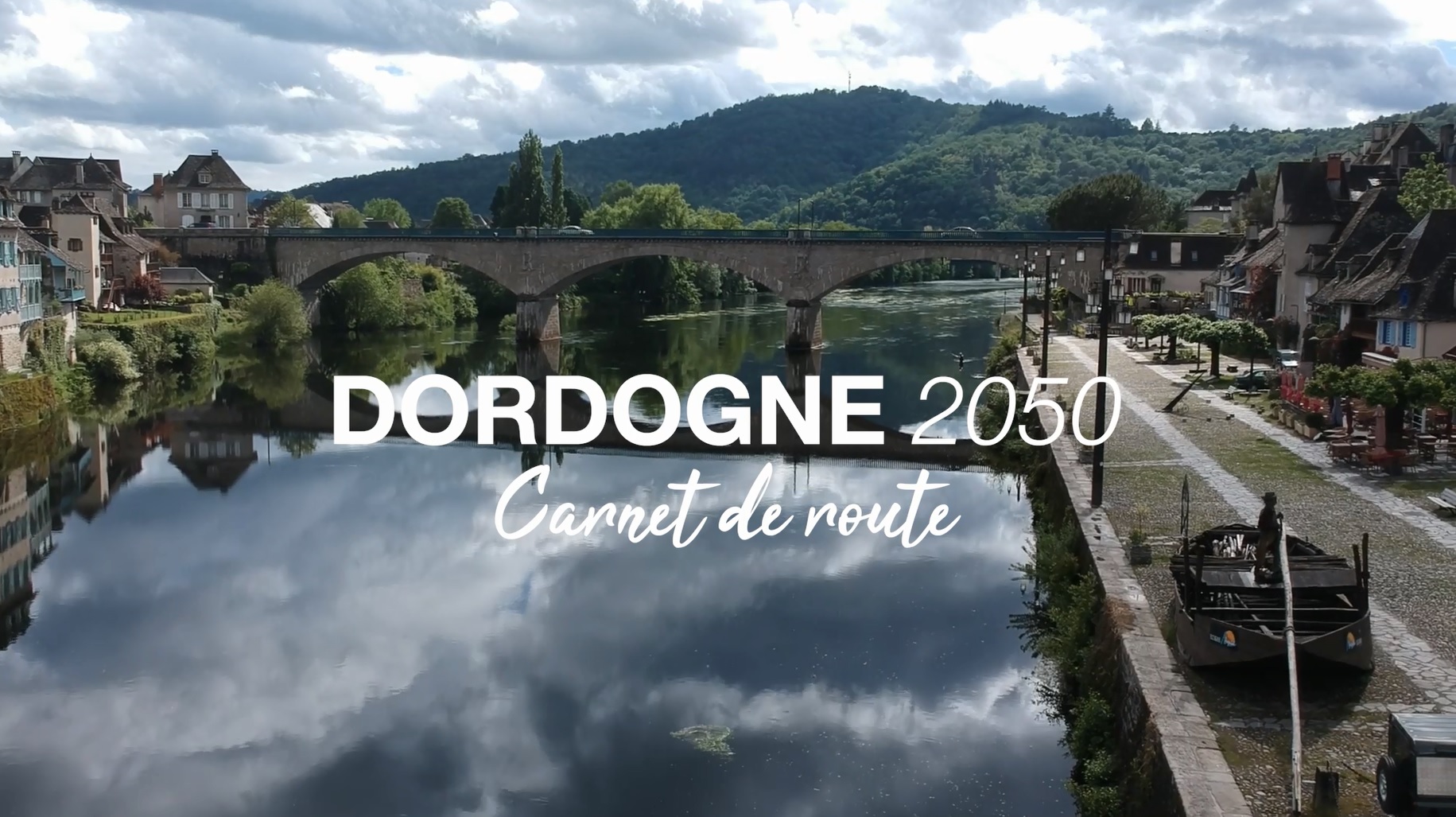
In that context “Dordogne 2050” was launched in 2017. Unlike other forward-looking exercises done before in the same area of southwestern France (Garonne, Adour and Charente), this one is trying to extend the climatic tendencies from IPCC while suggesting a new territory project to the watershed. A multidisciplinary team was put together and reunites many experts and engineering firm under Bruno Coupry’s (Eaucéa) leadership. This team was commissioned and financed by EPIDOR thanks to reliable partners like the Adour-Garonne Water Agency. In that context the main trap would be to rely on technical progress as the only answer to water management issues. That is why letting the territories face their responsibilities (regarding water management) and showing them how water can be a frame for the work to come is crucial.
The “Dordogne 2050 method” is inspired by the urban project method – even if this watershed is mostly rural. This kind of approach has been experienced in France since the early 2000. As an example, we can quote Bernardo Secchi and Paola Viganó in the Durance Valley. The territory project is based on various items such as climate, environment or land planning. The method lay on three steps. The first one is a large-scale diagnosis (24000 square kilometers). This step concluded with the production of a 200-page Atlas which was been disclosed in July 2018. This work tries to expose the climatic, hydrologic, sociological or economical tendencies.
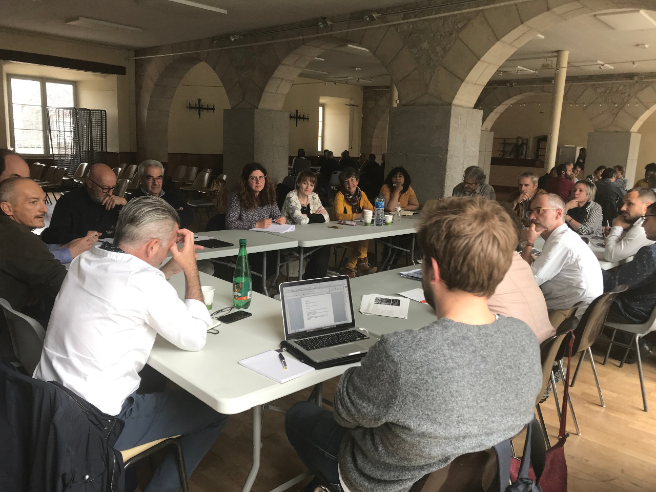
The following step is guided by a large survey. It was mean to better understand the local’s perceptions on the various stakes faced by the territory. This survey lead to a series of local workshops, eight are now scheduled by the end of 2019. Its purpose is to better prioritize the issues on the watershed and the projects that may be the answer to them. This process is supposed to lead to a large master-plan by the end of 2020. This master-plan – which go from the upstream to the downstream of the Dordogne – will lie on various local demonstration projects. Each one of them will have to answer various issues (hydro-electric, agriculture…) and has to offer a sustainable solution for the development of the catchment designated as a Biosphere Reserve by UNESCO.
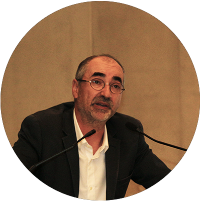
Alexandre BRUN
Dordogne basin biosphere reserve – FRANCE
Geographer, Lecturer at the University of Montpellier III.
Related Posts
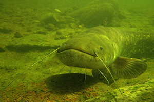
wels catfish monitoring
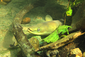
migratory fish
Ecological restoration